The Spokane area sits on a complex mix of glacial outburst flood deposits, basalt bedrock, and thick sedimentary layers over the Spokane Valley-Rathdrum Prairie aquifer. Shallow shear-wave velocities in the flood deposits can shift dramatically across a single parcel. That makes site-specific seismic microzonation non-negotiable for any project larger than a single-family home. Our lab runs the full workflow: field geophysics to capture Vs30 profiles, downhole testing in boreholes, and resonant column checks on undisturbed samples. For sites near the Latah Creek valley fill, we often combine MASW with seismic refraction to pin down bedrock depth and identify velocity reversals that amplify ground motion.
A two-lane road cut through glacial lake silts can show site class E on one end and class C on the other, only 300 feet apart.
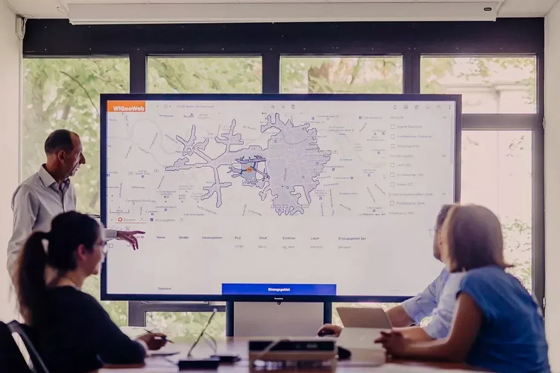
How we work
Local ground factors
We reviewed a three-story medical office on the South Hill where the geotech report assumed Site Class C based on one boring. Our seismic microzonation mapped a buried channel of loose alluvium running diagonally under the west wing. The Vs30 dropped the site to Class D. The structural engineer had to increase base shear by 30 percent and rework the lateral system. That change arrived after footings were already poured. The owner lost six weeks and a chunk of the contingency budget. Spokane has dozens of these hidden paleochannels carved by glacial outburst floods and later capped by stiffer soils. A single Vs30 value from a regional map misses them. ASCE 7-22 Section 20.3 explicitly requires site-specific measurements when interbedded soft clays or loose sands are present. In our experience, that describes most of the Spokane Valley floor and the lower benches along the river.
Applicable standards
ASCE 7-22 Chapter 20: Site Classification Procedure for Seismic Design, IBC 2021 Section 1613: Earthquake Loads, ASTM D7400: Standard Test Methods for Downhole Seismic Testing, ASTM D4428: Standard Test Methods for Crosshole Seismic Testing
Associated technical services
MASW and Seismic Refraction Surveys
Active and passive surface wave surveys to map Vs30 across the parcel. We run 2D lines in both orthogonal directions when site geometry allows, following ASTM D7400 guidelines. Outputs include shear-wave velocity cross-sections, Vs30 contour maps, and ASCE 7 site class boundaries.
Downhole and Crosshole Seismic Testing
Direct measurement of compression and shear wave velocities in boreholes. We use a triaxial geophone receiver and surface hammer source to capture interval velocities every 5 feet. This data calibrates the surface wave results and is required for Site Class F studies.
Typical parameters
Quick answers
How much does a seismic microzonation study cost for a typical commercial lot in Spokane?
For a standard commercial parcel up to 2 acres, a seismic microzonation study in Spokane typically runs between US$3,580 and US$15,260. The range depends on the number of MASW lines, whether we need to drill dedicated boreholes for downhole testing, and the depth to refusal. A small retail pad with one or two lines and good site access lands on the lower end. A multi-acre mixed-use development requiring five to six lines, crosshole calibration, and a Site Class F screening report moves toward the upper end. We provide a fixed-scope proposal after reviewing the site plan and any existing geotech data.
How does seismic microzonation differ from a standard geotechnical investigation?
A standard geotechnical investigation focuses on bearing capacity, settlement, and soil stratigraphy from boreholes. Seismic microzonation measures the dynamic properties of the soil column, specifically the shear-wave velocity profile Vs30, to determine how the ground will amplify or de-amplify earthquake shaking. The two are complementary. The boring logs tell us what the soil is; the microzonation tells us how it will move during a quake. ASCE 7 uses that information to assign a Site Class, which directly controls the seismic design forces on the structure.
What site class is most common in the Spokane Valley?
Most of the Spokane Valley floor maps as Site Class D, driven by the thick sequence of glacial outburst flood sands and gravels. However, we frequently encounter pockets of Site Class E where softer silts and clays from glacial Lake Columbia deposits are present at shallow depth. Areas near the basalt outcrops on the valley edges can classify as Site Class C or even B. The variability is high enough that assuming a default class without measurement is a real risk.
How long does a seismic microzonation study take from field work to final report?
Field work for a typical commercial parcel in Spokane takes one to two days. Data processing and inversion of the dispersion curves takes another three to four working days. If we need to coordinate with a drilling crew for downhole testing, add a day for the borehole work. The final report, including 2D cross-sections, Vs30 contour maps, and the ASCE 7 site class determination, is usually delivered within two weeks of completing the field work.
Does the City of Spokane require seismic microzonation for building permits?
The City of Spokane follows the IBC, which references ASCE 7 for seismic design. While ASCE 7 allows using default site classes from regional maps in some cases, the code requires site-specific measurements when Site Class F conditions are suspected, or when the structure is assigned to Risk Category III or IV. Our reports are formatted to meet the submittal requirements of the City of Spokane building department, and we include the necessary stamps and certifications.