Spokane’s topography brings engineering challenges that standard site investigations often miss. The city sits on the Columbia River Basalt Group, capped by Pleistocene glacial outburst flood deposits and windblown loess. These materials behave differently under load: the basalt offers high strength, but the overlying silts can lose cohesion rapidly when saturated. IBC 2024 Section 1610 mandates slope stability analysis for cuts exceeding 15 feet or where structures are placed within the landslide hazard zone mapped by the USGS. We’ve seen projects near the South Hill bluff where a Factor of Safety below 1.5 was corrected only after integrating shear strength data from consolidated-undrained triaxial tests. For sites with variable stratigraphy, combining our analysis with a SPT drilling program provides the stratigraphic control needed to model failure surfaces accurately.
A Factor of Safety of 1.5 for static conditions is our minimum target; for seismic loading under ASCE 7-22 we require no less than 1.1.
How we work
Local ground factors
A 6-story mixed-use project off Southeast Boulevard encountered a problem we see too often in Spokane: the geotechnical report treated the slope as a homogeneous silty sand, ignoring a thin montmorillonite-rich clay layer we identified in the Latah Formation at 18 feet depth. After a wet October, tension cracks opened at the crest, and survey prisms recorded 0.4 inches of lateral movement in four days. We mobilized immediately, installed piezometers, and ran a back-analysis that confirmed the clay seam as the failure surface. The slope was stabilized with a row of drilled shafts and horizontal drains before construction resumed. The lesson is simple: Spokane’s geology is not uniform, and a Factor of Safety calculated without identifying the weakest layer is just a number with no real meaning.
Applicable standards
IBC 2024, Section 1610: Excavations, Slopes, and Retaining Walls, ASCE/SEI 7-22, Chapter 11: Seismic Design Criteria for Slopes, ASTM D1586: Standard Test Method for Standard Penetration Test (SPT), ASTM D2487: Standard Practice for Classification of Soils, ASTM D4767: Consolidated-Undrained Triaxial Compression Test, ISO/IEC 17025: General requirements for the competence of testing laboratories
Associated technical services
Static Limit Equilibrium Analysis
Two-dimensional LEM using Bishop and Spencer methods for rotational and translational failures. We model benched cuts, surcharge loads from adjacent foundations, and drawdown conditions for slopes adjacent to the Spokane River.
Seismic Pseudo-Static and Deformation Analysis
Application of ASCE 7-22 seismic coefficients with site-specific Site Class determination. Where pseudo-static factors fall below 1.0, we perform Newmark sliding block analysis to estimate permanent displacement under the design earthquake.
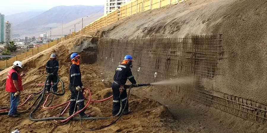
Remedial Design and Stabilization
From soil nailing and ground anchors to buttress fills and subsurface drainage systems. We prepare construction plans and specifications for slope repairs on public and private land within the City of Spokane jurisdiction.
Typical parameters
Quick answers
What does a slope stability analysis cost for a typical Spokane residential lot?
For a single-family lot on a moderate slope in Spokane, the analysis typically ranges from US$1,220 to US$4,490. The final cost depends on whether we need to drill a borehole for undisturbed sampling, run triaxial or direct shear tests, and the complexity of the slope geometry. A simple infinite slope model with existing soil data costs less than a full LEM model requiring lab testing and seismic pseudo-static runs under ASCE 7-22.
When does the City of Spokane require a slope stability report?
The city requires a geotechnical report addressing slope stability for any cut or fill exceeding 4 feet in height, for structures within 50 feet of a slope crest steeper than 30%, or for parcels mapped within the landslide hazard zone. The report must be stamped by a licensed geotechnical engineer and comply with IBC 2024 Section 1610.
How do you model the basalt contact in Spokane slopes?
We treat the basalt-sediment interface as a potential slip surface, especially where the Latah Formation claystones are present. We drill to confirm the contact elevation, sample the weathered zone, and run direct shear tests on the interface material. The residual friction angle of the claystone often controls the Factor of Safety more than the overlying soil properties.